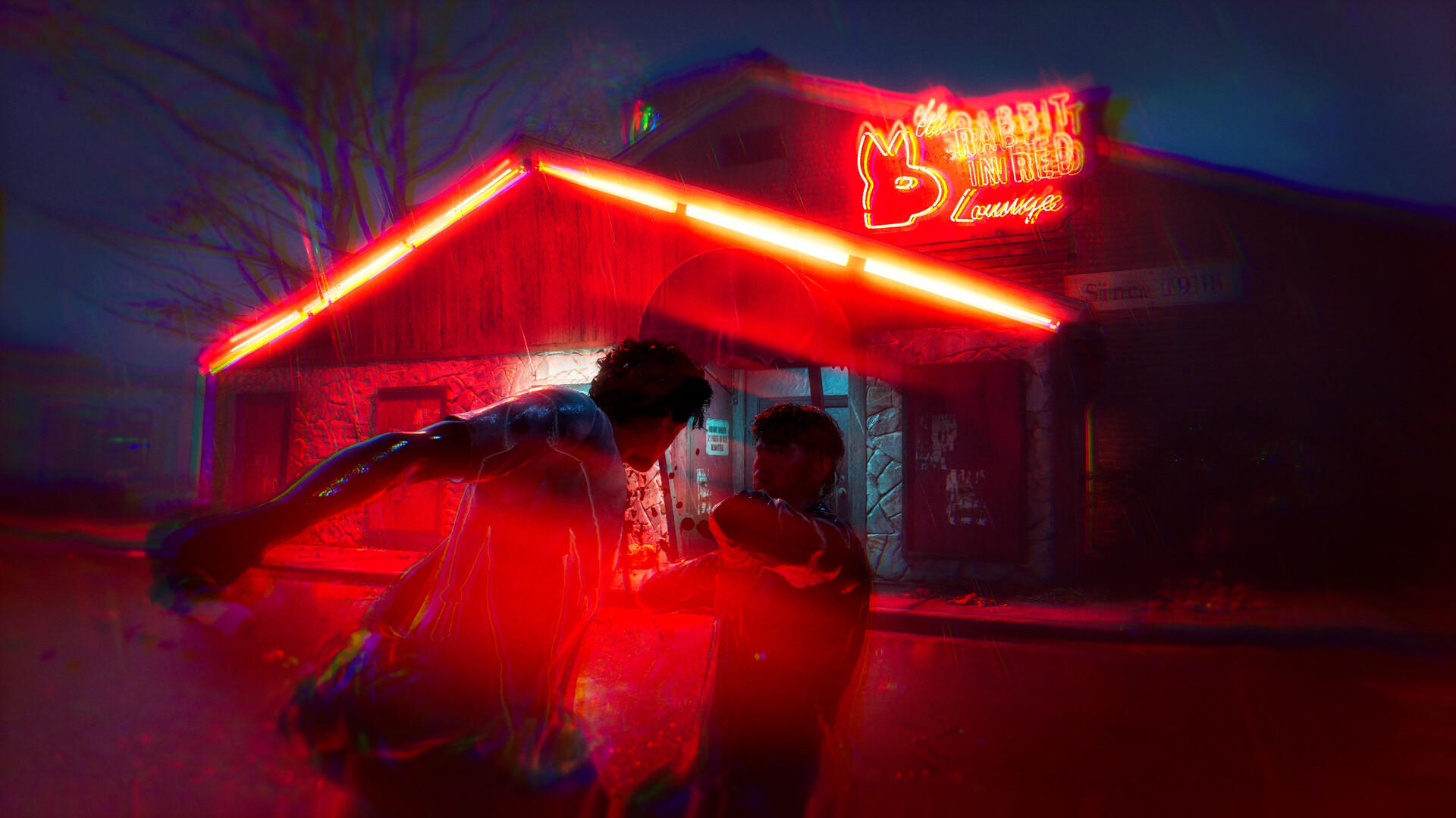
The four Halloween: The Game maps and their landmarks
Halloween: The Game launches with four maps: East Haddonfield, Haddonfield Heights, Orange Grove Estates, and Haddonfield Town Center.
East Haddonfield is a rural agricultural area marked by The Rabbit in Red Lounge, Phelps Garage, farmland, and Midwest Feed Company.
Haddonfield Heights contains the Strode house, the Myers house near Lampkin Lane, modest single-family homes, and a large water tower.
Orange Grove Estates features large multi-story homes, detached garages, balconies, a neighborhood playground, and the Doyle and Wallace residences.
Haddonfield Town Center includes Nichols Hardware, A-Side Music Store, Hill Garden Center, and Patty’s Pub.
How maps affect movement and sightlines
- What should players expect inside Orange Grove Estates homes?
- The large houses have multiple stories, long halls, garages, and upper levels that create tense traversal situations for Michael and Civilian players.
- Where do chokepoints and temporary barriers appear in Orange Grove Estates?
- Fences and hedges block escape paths and form chokepoints, while yards, bushes, playground equipment, and other obstacles can become temporary barriers.
- How do Orange Grove Estates open spaces affect player choices?
- Open spaces create collaboration and line-of-sight considerations, while the expansive streets support travel with repaired vehicles and bikes.